Soar smart with
Here is where vision begins and precision leads, GeoDola is more than an engineering platform
It’s your smart partner in every engineering and geomatics step.


FROM GROUND TO GALAXY
GeoDola


Your trusted partner in surveying and geomatics
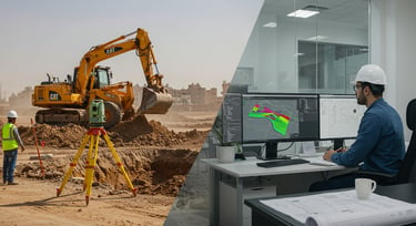
GeoDola brings over 15 years of experience in 2D and 3D field and office surveying.
We use advanced technologies like LiDAR and GNSS, and software such as AutoCAD Civil 3D and Revit, we deliver accurate and reliable topographic, structural, and mapping services to ensure your projects meet the highest standards efficiently.


Join over 1,500 clients and 25,000 followers and trainees who trust GeoDola
We deliver smart engineering—precise, expert, and professional.
Offering smart surveying, practical training, and accurate solutions that truly impact your projects.
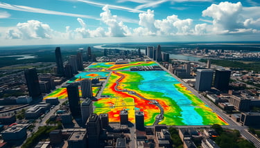
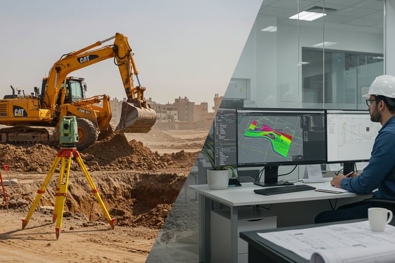
Comprehensive Engineering Surveying: From Setup to Delivery
GeoDola offers full surveying services starting with precise control points using dual-frequency GPS and global references like WGS84 and UTM. We then conduct detailed land surveys with Total Station and GPS, ensuring plans match approved designs.
We also provide engineering analysis for excavation and fill using Civil 3D, with accurate 3D models and cross-sections. Deliverables include As-Built and execution drawings in CAD and PDF, ensuring accuracy and efficiency throughout your project.
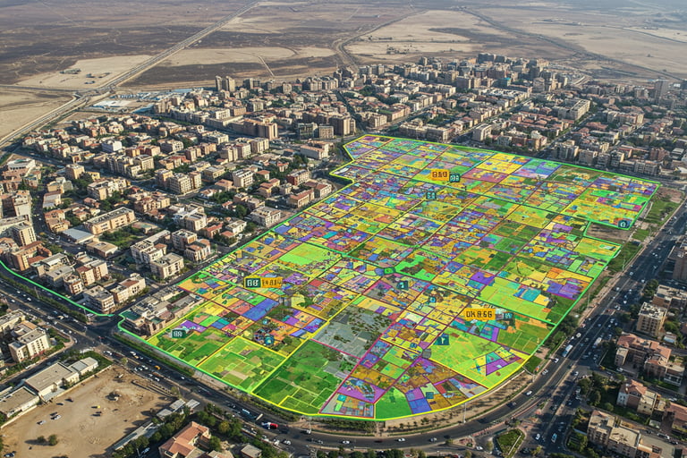
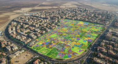
Survey Documentation and Technical Project & Tender Analysis
GeoDola precisely documents property boundaries using advanced GPS and GIS, converting paper sketches into official digital maps to ensure legal accuracy and avoid disputes. We provide detailed technical and legal reports for property registration, supporting developers and consultants.
We also prepare professional technical and financial tender proposals, estimating costs and resources with Civil 3D to create accurate bids that boost your chances of winning and ensure smooth project management.
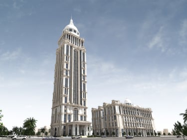
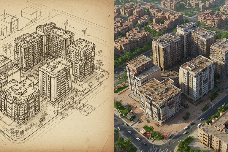
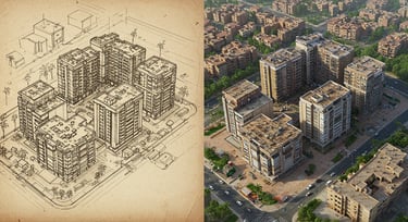
3D External Surveying for Structures
GeoDola offers specialized 3D surveying for building exteriors and monuments using advanced technologies like LiDAR and photogrammetry, along with precise equipment and software such as AutoCAD and Civil 3D. We capture high-accuracy 3D data to create detailed digital models and CAD maps for design, documentation, and restoration.
Our services ensure full compliance with quality and engineering standards, aiding planning and reducing technical and legal risks. Final deliverables include 3D models, execution drawings, and analytical reports for efficient and professional project management.
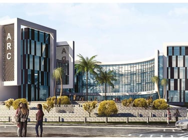
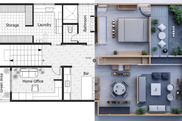
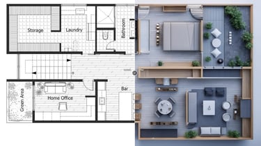
3D Internal Surveying and Modeling for Structures
GeoDola provides detailed 3D surveying of interior spaces using advanced laser scanning and photogrammetry to capture precise architectural and engineering details. We convert field data into high-quality 3D models and CAD/BIM drawings, enabling accurate design, restoration, and space planning.
Using software like AutoCAD, Revit, and Civil 3D, we ensure models meet technical standards and project requirements, delivering complete execution files to support informed decisions and optimal results.
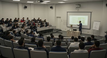
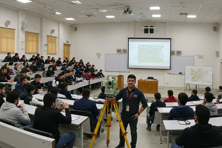
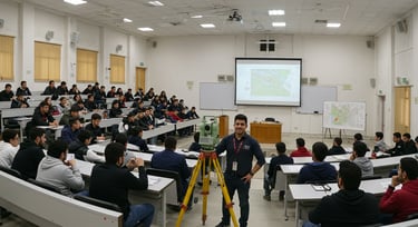
Comprehensive Field Surveyor Training
GeoDola provides comprehensive surveying training covering practical and theoretical skills in topographic, property, road, infrastructure, and geodesy surveys. We use advanced tools like Total Station, GNSS, LiDAR, and software including AutoCAD, Civil 3D, Revit, and GIS.
We also enhance soft skills in leadership, communication, time management, and interview prep to build confident, professional field engineers.
With 750+ hours of hands-on training, we’ve trained skilled engineers trusted for accurate and efficient project delivery.

How Can We Work Together?
We offer several options to support you
choose what suits you best.
Engineering & Surveying Consultancy


Get expert insights for data analysis, project planning, and technical problem-solving—ensuring smooth workflow, high quality, and on-time delivery.
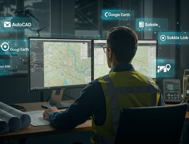
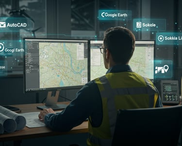

Online Engineering & Software Services
We offer full remote support for AutoCAD, Civil 3D, Revit, 2D/3D visualization, and cut-and-fill calculations—all delivered online.
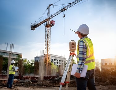
We come to your location to perform precise 2D and 3D engineering surveys using advanced Total Station, GPS, and LiDAR technologies.
We deliver accurate data quickly and professionally to support your design and execution.
On-Site Surveying Services
Our Clients Speak for Us
Discover how GeoDola made a real impact on our partners’ projects.
Eng. Adel is truly a school of his own—deeply knowledgeable and incredibly skilled at delivering information with both clarity and professionalism. I learned more from him than any course I’ve taken before.
Mostafa El-Maadawy
Geo Adel isn’t just a skilled engineer—he brings years of real experience and genuinely helps you out. Any advice from him saves you time and effort. Respect, Geo!
Omar Khaled
★★★★
★★★★★
Over 25,000 followers trust GeoDola and await you


Whether student, graduate, or engineer,We provide the tools and support you need.
Follow us and start your journey confidently.
Worked with Eng. Adel online for quantity takeoff and 2D/3D visualization. I was hesitant at first, but the results exceeded expectations—clear, well-organized work, delivered faster than agreed. Truly professional—my top choice every time.
Eng. Esraa Kamal
Learned things from him no one else could explain that clearly. A truly skilled and effective instructor.
Ahmed Osama
★★★★★
★★★★★
Needed an urgent as-built survey—Eng. Adel delivered fast, flawless work. Everything was clear, accurate, and 100% site-matching. True professionalism.
Nader Galal
I needed urgent Civil 3D and Revit work, and was impressed by his high accuracy and attention to detail. He reviews everything thoroughly, works like it’s his own project, and explains every step. Excellent experience.
Yasmine Fawzi
★★★★★
★★★★
GeoDola World for Surveying and Geomatics
GeoDola | Surveying & Geomatics Solutions
All rights reserved © 2026