
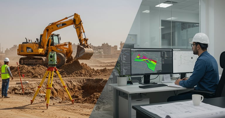
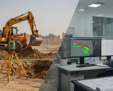
Our Integrated Surveying Solutions
At GeoDola, we deliver end-to-end surveying services tailored to every project need—from detailed topographic and staking surveys to precise digital mapping, quantity calculations, expert consulting, and on-site verification.
Using the latest surveying technology and advanced engineering software, we ensure high data accuracy and top-tier quality standards.
Our services offer complete technical support that boosts execution precision, minimizes risks, saves time and costs—helping you deliver successful projects with confidence and efficiency.

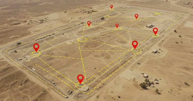
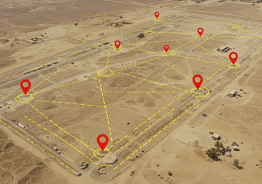
Control Point Establishment
We establish stable, high-precision control point networks using dual-frequency GPS and advanced marking techniques. Points are fixed according to global and local reference systems (e.g., WGS84, UTM), with certified reports and verified coordinates. These control points serve as the foundation for accurate surveying and construction alignment, ensuring design-execution consistency and minimizing errors throughout the project.
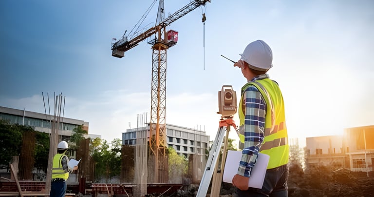
Detailed Surveying & Site Staking
We deliver accurate topographic surveys and site staking using advanced Total Station and dual-frequency GPS, fully aligned with approved engineering plans. Our service includes precise As-Built drawings reflecting actual site conditions, along with CAD and PDF outputs tailored for consultants and contractors—ensuring smooth handovers, reduced errors, and efficient project execution.

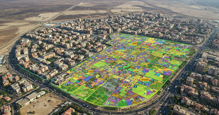
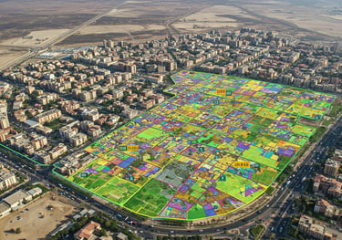
Property Mapping & Boundary Verification
We provide precise property and cadastral mapping services using high-accuracy GPS and modern GIS systems to establish and document land boundaries. Our service includes converting hand-drawn sketches into official digital maps, issuing legal and technical reports, and ensuring boundary accuracy to support registration and prevent disputes. This safeguards ownership rights and enhances transparency for property owners and developers alike.
Earthwork Cut & Fill Quantities
We deliver highly accurate earthwork quantity calculations using Autodesk Civil 3D, leveraging 3D terrain models to compare natural and design levels. Our service includes detailed cross and longitudinal sections, precise volume reports for financial planning and site execution, and As-Built documentation to verify completed work. This ensures reliable data, reduces financial and technical risks, and supports smooth project progress.
Preparation of Technical and Financial Bids for Surveying Tenders
We provide a professional end-to-end service for preparing technical and financial bids tailored to complex surveying and engineering tenders. Using advanced tools like Civil 3D and cost analysis software, we ensure precise estimation from fieldwork to final deliverables.
Our service includes detailed technical analysis, resource and equipment assessment, and accurate cost breakdowns—delivering competitive, compliant, and well-documented proposals that boost your chances of winning and support efficient project execution from day one.
Building Permit Files & Plan Digitizing
We prepare comprehensive building permit files that fully comply with local regulations and standards. Our service includes converting old paper plans and blueprints into accurate, georeferenced digital maps using advanced surveying techniques and CAD software such as AutoCAD and Civil 3D. This ensures all data is precise, standardized, and ready for official submission.
By digitizing and analyzing plans with modern engineering standards, we accelerate permit approvals and reduce design inconsistencies. Our detailed digital documentation minimizes legal and technical risks, facilitates seamless project coordination, and enhances workflow efficiency from planning through construction.


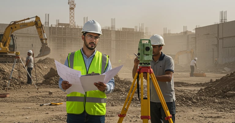
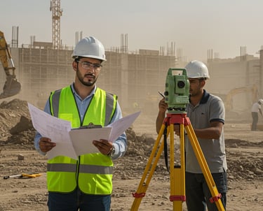
Field & Survey Review of Contractor Works
We offer professional field and survey reviews to ensure contractor work matches approved plans and standards. Using advanced tools like Total Station, GPS RTK, Laser Scanners, and software such as AutoCAD Civil 3D and ReCap Pro, we verify coordinates, elevations, and boundaries accurately.
Our thorough inspections detect deviations early and provide detailed reports with corrective actions. This reduces errors, ensures quality, and improves coordination between surveyors, contractors, and consultants—saving time and cost while enhancing project success.


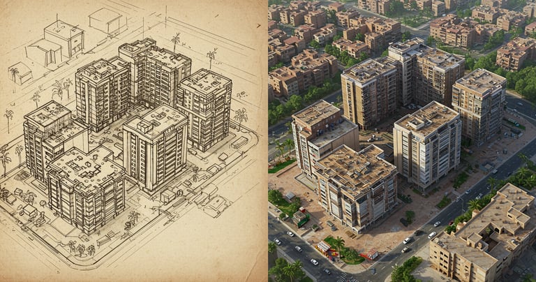
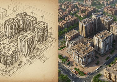
Topographic Mapping & 3D Site Modeling
We provide precise topographic maps and detailed 3D site models using advanced surveying equipment like dual-frequency GPS, Total Station, and LiDAR, combined with specialized software including AutoCAD Civil 3D, Revit, and SketchUp.
These accurate models represent terrain, elevations, natural and man-made features, and infrastructure, serving as essential tools for design teams and contractors. They enhance project planning, minimize execution errors, support volume calculations, drainage studies, and improve decision-making throughout all project phases.
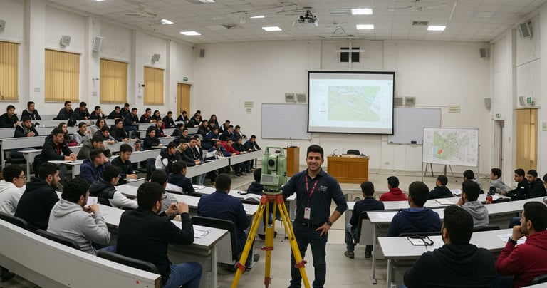
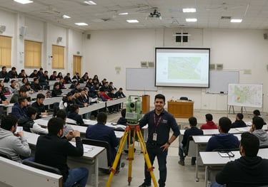
Professional Surveying Training Programs
We offer comprehensive, high-level surveying training covering all fundamental and specialized fields—from topographic and property surveying to roads, infrastructure, geodesy, and GIS.
Our courses combine theory with hands-on use of the latest equipment such as Total Station, GNSS, Digital Level, Laser Scanner, and LiDAR, along with practical applications of top software like AutoCAD, Civil 3D, Global Mapper, QGIS, ArcGIS, and Pix4D.
With over 750 hours of practical training delivered, we prepare skilled professionals ready to perform efficiently in fieldwork and project sites. Our focus on real-world scenarios ensures deep understanding and direct application, making our graduates among the most competent technicians and engineers in the market.
Precise Surveying Consulting & Technical Decision Support
We provide specialized surveying consulting to support decision-making throughout all project phases, from planning to delivery. Our services include data review, field condition analysis, and tailored engineering and surveying solutions using advanced technologies such as Total Station, GNSS RTK, Dual-Frequency GPS, Digital Level, Laser Scanner, and LiDAR, alongside professional software like AutoCAD, Civil 3D, Revit, Global Mapper, Pix4D, QGIS, and ArcGIS.
This service ensures accurate field alignment, minimizes errors, enhances execution precision, and fully integrates surveying data with project requirements. We act as key partners in the success of major engineering and architectural projects by delivering expert surveying insights that bridge design, reality, and implementation.


GeoDola | Surveying & Geomatics Solutions
All rights reserved © 2026