

Eng. Adel Omar Mahmoud
Director of Surveying and GIS Department with over 15 years of experience in land surveying, mapping, and spatial data analysis in Egypt and Saudi Arabia. Specialized in topographic and construction surveying, 3D laser scanning (LiDAR), and advanced measurement systems. Successfully led surveys for more than 15 hotels, 230 villas, and 12 administrative buildings with exceptional precision and execution efficiency. Certified surveying trainer since 2015 with over 750 training hours. Proficient in technical reporting, site data analysis, legal documentation, and effective communication with both technical and non-technical teams. Known for precise leadership, a commitment to innovation, and a passion for mentoring the next generation of surveying professionals.


Professional Experience Summary
Inside and Outside Egypt
MSI – Masriya Surveying & Instruments Co
Surveying & GIS Department Manager
Dec 2022 – Dec 2024
Full management of land and construction surveying for major residential and commercial projects with millimeter-level accuracy using GNSS and Total Station technology.
Led a diverse team of surveying engineers and GIS technicians, overseeing data collection, quality assurance, and timely project delivery.
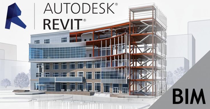
Produced 2D and 3D topographic maps and engineering plans using AutoCAD, Civil 3D, and GIS platforms.
Executed 3D laser scanning surveys with LiDAR systems; processed point clouds and 3D modeling.
Directed in-house surveying training academy; conducted technical workshops and onboarded new staff.
Coordinated with engineering teams to integrate surveying data into design workflows and advised on geospatial tool updates.
Reduced project delivery time by 20% through optimizing field data workflows and processing.


Dar for Trading and Construction (Detac)
Head of Surveying Department (In-House)
Feb 2012 – Nov 2015 & Aug 2019 – Dec 2022
Managed surveying works for Oriana 4 project (Al-Futtaim Group) — 85 villas, service buildings, and facilities.
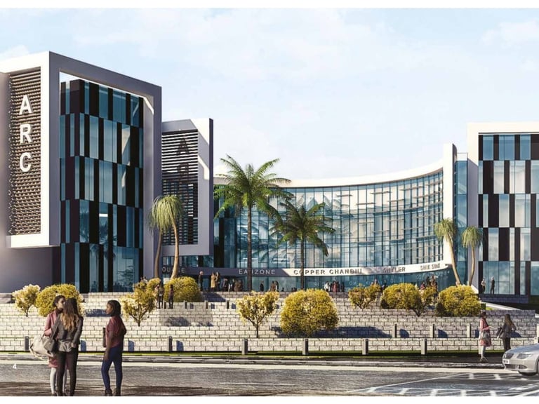
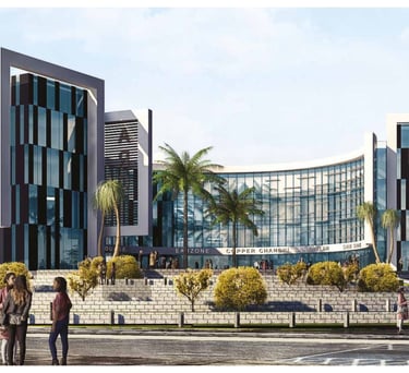
Supervised ARC Smart Village project: high-rise administrative building with external finishing and utilities.
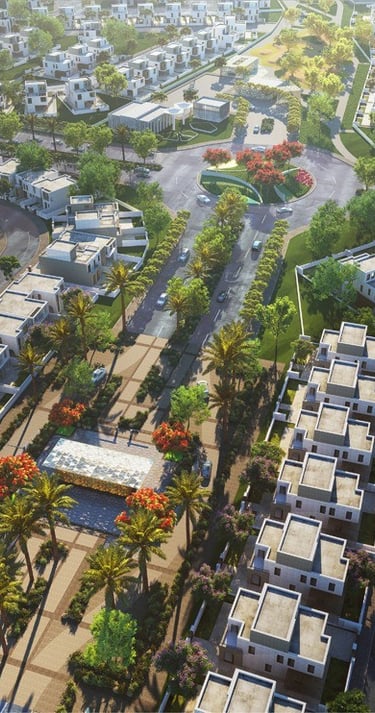
Executed surveying for Royal City compound: 47 villas, internal roads, drainage networks, landscaping.
Conducted surveying and planning for Etisalat Misr administrative buildings on 3 feddans in Smart Village.
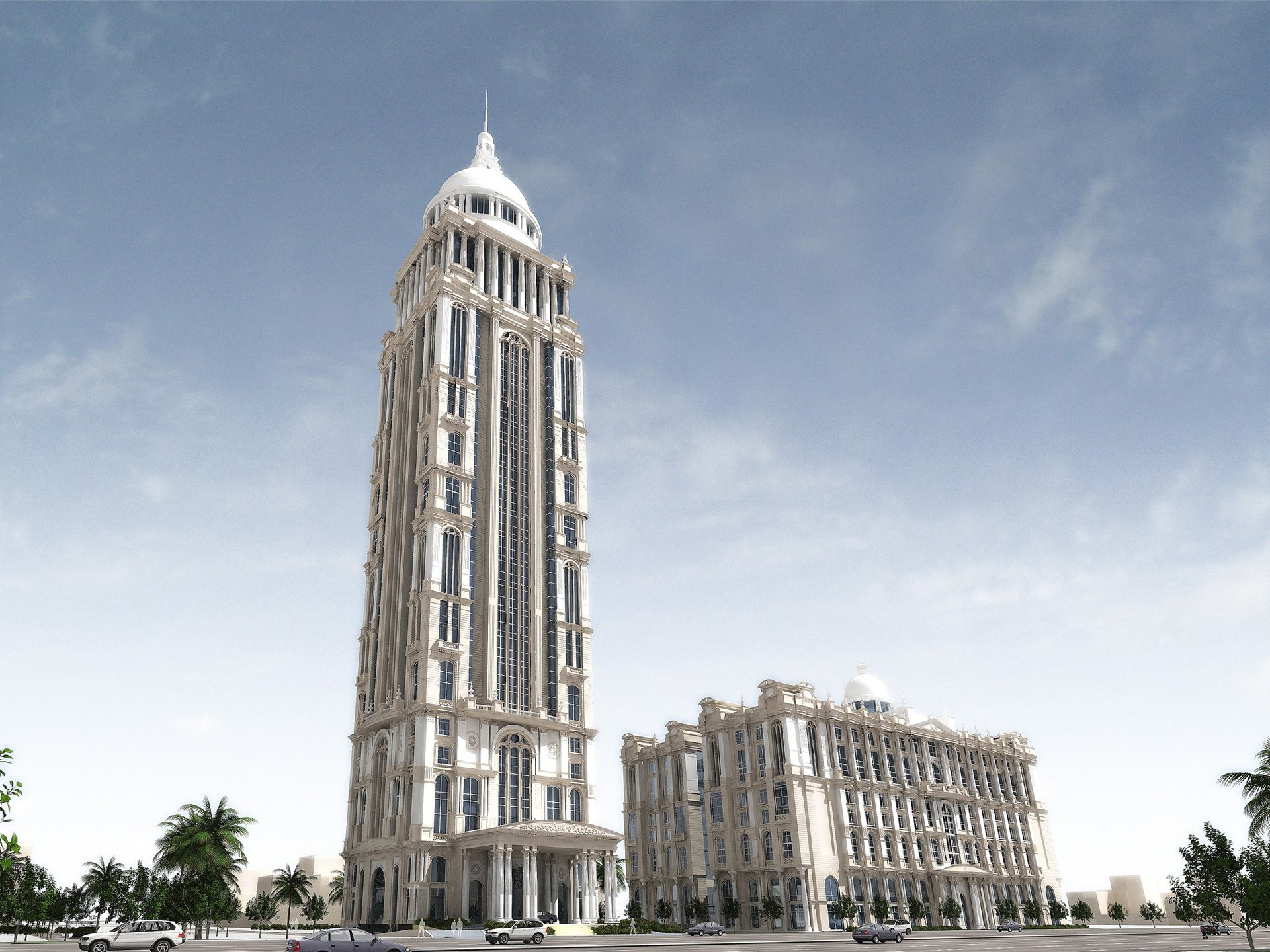
Managed multi-story Administrative Prosecution building project in 6th of October City with drainage and finishing works.
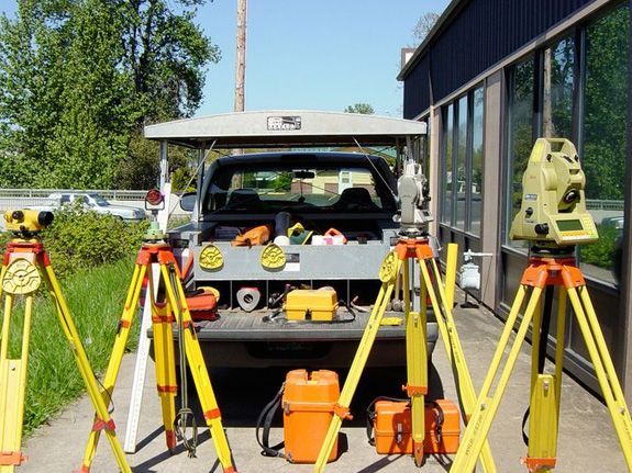
Expert use of Topcon and Sokkia Total Stations, dual-frequency GPS systems, ensuring highest infrastructure accuracy.
Applied AutoCAD and Civil 3D for execution drawings integrated with field data, accelerating delivery by over 30%.


Boudl Hotels & Resorts
Surveying & Mapping Department Manager
Nov 2015 – Mar 2019
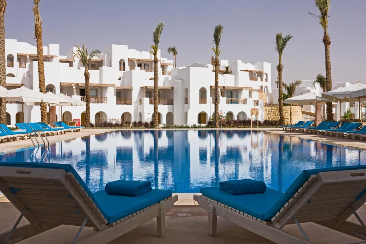
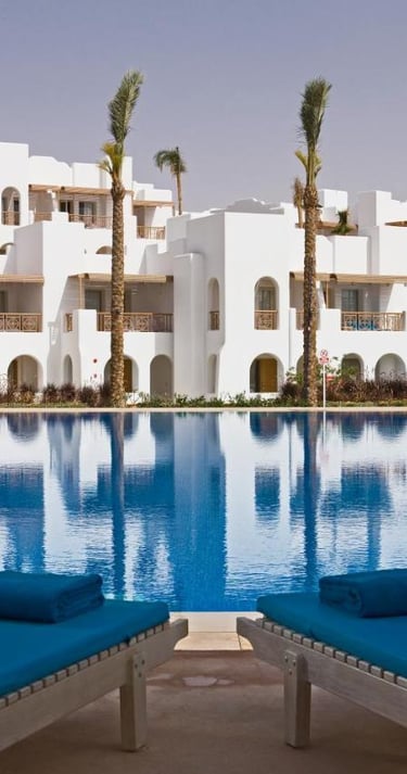
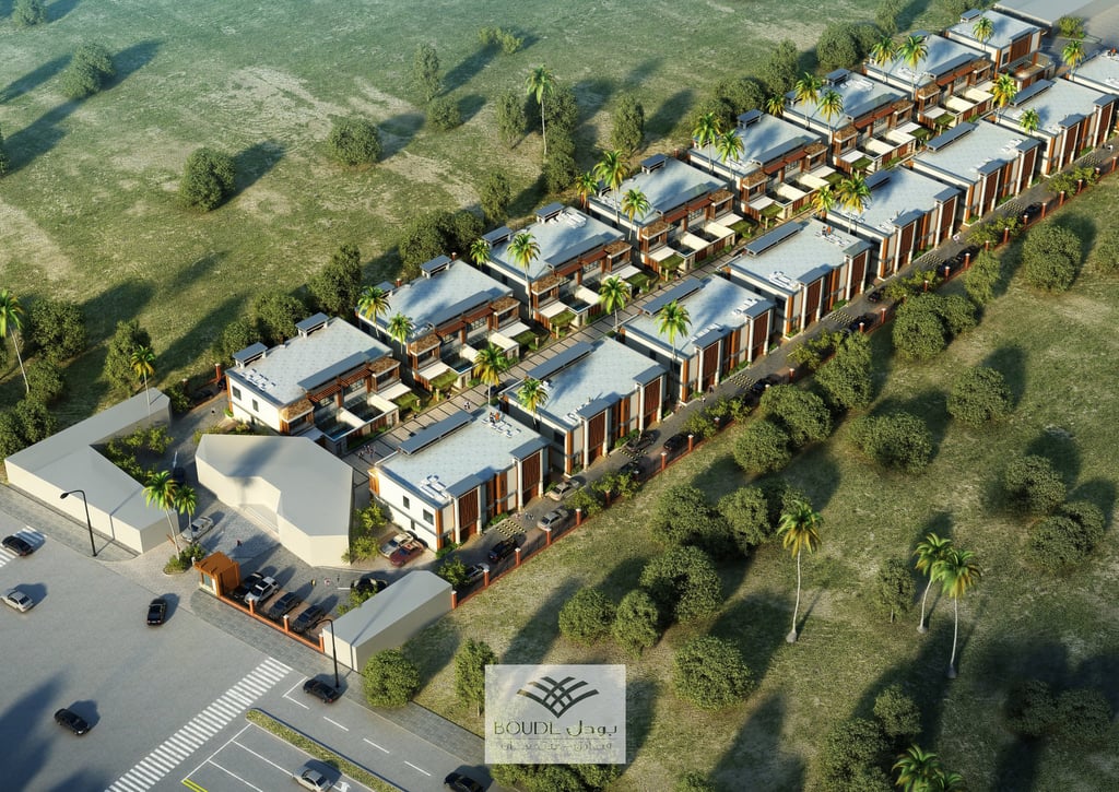
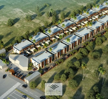
Led surveying for Narcissus Resort, Jeddah: 60 villas, administrative buildings, restaurants, pools, spa, sports facilities, plus 150m Red Sea land reclamation with roads, drainage, and landscaping.
Supervised survey of Braira Hotel, Dammam: multi-floor hotel with service buildings, pools, gardens.
Managed surveying for Narcissus Al Khuzama Hotel, Riyadh: 13 floors plus 4 basement levels and mezzanines.
Directed surveying works for Thumamah Villas, Riyadh: luxury villas, pools, service buildings, landscaping.
Executed survey and design of Narcissus Classic Tower: 30 floors, 5 basements, pools, and landscaping.
Managed Boudl-Nakheel Resort, Unayzah: 30 villas with service buildings, pools, and external landscaping.


Technical & Professional Skills
Topographic & Construction Surveying: Land planning, leveling, and boundary setting using Total Station, GPS, Level, and Theodolite.
3D Laser Scanning & Modeling: Proficient with terrestrial LiDAR systems, point cloud acquisition and processing, and creating precise 3D models.
Surveying Software: Skilled in AutoCAD, Civil 3D, Trimble Business Center, Google Earth, ExpertGPS, Sokkia Link.
GIS: Advanced use of ArcGIS for spatial data management, analysis, and spatial database creation.
Quality Control & Data Integration: Data quality assurance, device calibration, integrating survey data with engineering design.
Analysis & Reporting: Strong digital analysis, problem-solving skills, and technical report writing.
AI Tools: Advanced use of AI for design, analysis, and production with expertise in professional prompt writing for accurate, innovative results.
Training & Leadership: Certified trainer with over 750 training hours; experienced in team leadership, workshops, and mentoring junior engineers.
Presentation Tools: Advanced proficiency in Microsoft Office, Adobe Photoshop, and Premiere for documentation and project presentations.


Professional Development & Specialized Courses
On a continuous journey toward excellence, I pursued specialized courses in leadership, technology, design, and analysis—blending engineering precision with visual creativity and professional management.
Personal Development Courses


Train of Trainers (TOT) – German Technical Office for Human Development
ICDL – Fayoum University
Design & Editing Tools (Adobe Photoshop, Adobe Premiere, Canva, Filmora) – Self-learning & practical projects
Photography & Video Editing Basics – Workshops with professional equipment and software
Design Thinking & Problem Solving – Edraak Platform & Google’s "Maharat" initiative.

Engineering & Surveying Software
AutoCAD Civil 3D, Land Desktop – African Center for Surveying & Cairo University
AutoCAD, Surfer, Land Desktop, Prolink – Egyptian Association for Surveying & Mapping
ArcGIS – Hands-on training within real-world projects
Trimble Business Center, Google Earth – Field project training
Microsoft Office (Excel, Word, PowerPoint, Outlook) – Advanced use in reporting and presentations.
Total Station (Nikon DTM-820, Leica TC 1205, Topcon GTS 753, Sokkia SET 310K) – African Center for Surveying & Cairo University
Total Station (Geo Max ZT20) – Egyptian Association for Surveying & Mapping
Total Station (Sokkia DT 610) – Egyptian Surveying Society
Total Station (Topcon GTS 7500) – Cairo Engineering Works
Total Station & GPS (Nikon) – Egyptian General Authority for Survey.
Surveying Equipment
Academic Qualifications
M.Sc. in Astronomical Geography & Cosmology (In Progress) – Cairo University, Aug 2023 – Present.
B.A. in Geography – Surveying & Mapping Division – Fayoum University, Aug 2008 – May 2011.
Diploma in Islamic Studies – Higher Institute of Islamic Studies, Cairo, Aug 2019 – Aug 2021.
Diploma in Imamate, Preaching & Islamic Guidance – Higher Institute for Preachers, Fayoum, Aug 2012 – May 2015.


Training & Capacity Building
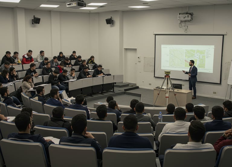
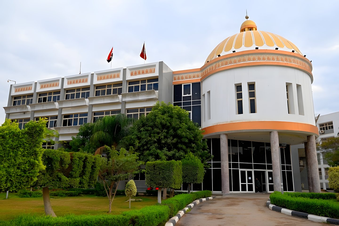
For over a decade, I have delivered more than 750 certified training hours at leading universities and educational institutions, specializing in preparing surveying and mapping professionals for the local and regional markets. My programs focus on hands-on training with advanced equipment such as GPS, LiDAR, and Total Station, along with expert instruction in engineering software like AutoCAD, Civil 3D, and ArcGIS.
I have successfully trained multiple generations of field-ready professionals by combining deep theoretical knowledge with intensive practical application, ensuring trainees gain real-world skills needed in surveying, mapping, and GIS.
These programs have produced highly qualified specialists who now contribute to major companies and consulting firms across Egypt and beyond. My interactive, field-based teaching style—rooted in practical experience and continuous development—has earned wide acclaim and laid the foundation for the establishment of GeoDola.
GeoDola | Surveying & Geomatics Solutions
All rights reserved © 2026