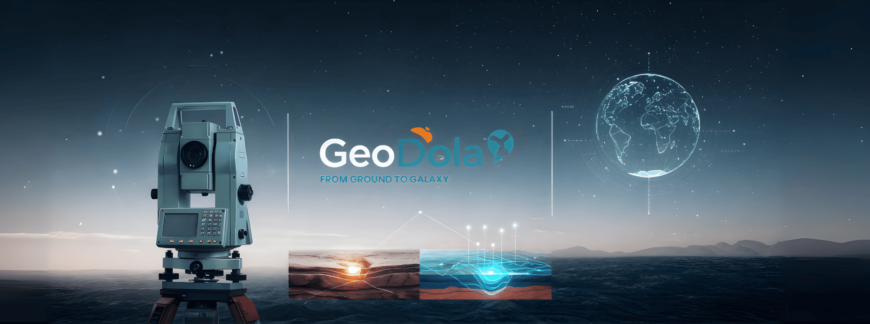
About GeoDola for Surveying & Geospatial Solutions
From Egypt to Saudi Arabia, GeoDola has earned its reputation as a trusted name in surveying and geospatial solutions. We offer extensive expertise across topographic and construction surveying, mapping, spatial data analysis, and geospatial data management—serving sectors including tourism, real estate, infrastructure, and government.
What sets us apart is our passion for precision and solution-driven innovation. We blend engineering discipline with scientific depth, utilizing cutting-edge technologies such as 3D laser scanning (LiDAR), GNSS/GPS systems, and Total Station, alongside industry-leading software like AutoCAD Civil 3D, ArcGIS, Revit, and Google Earth. This integration ensures project execution with exceptional accuracy, efficiency, and visual clarity.
Key Achievements
15+ luxury resorts and hotels
230+ villas and residential units
12+ major commercial and administrative buildings
Full-scope topographic, boundary, and construction surveying
3D digital modeling and advanced geospatial data analysis
At GeoDola, we believe surveying is just the beginning. We analyze real-world challenges, build trust, and deliver actionable insights that move projects forward.
Led by Eng. Adel Omar Mahmoud—company founder and certified surveying trainer—we are driven by a commitment to elevate the industry and deliver true value in every project.
We operate with transparency, collaboration, and constant innovation. Whether you’re building on land, planning below it, or exploring beyond it—we chart your path with unmatched precision and vision.


Our Core Mission in Surveying
We believe surveying is more than measurements—it’s a science that serves humanity, builds civilizations, and shapes decisions. Our mission is to deliver comprehensive, precise, and innovative surveying and geospatial solutions that meet project needs across all scales.
We commit to the highest technical and professional standards, blending deep field expertise with smart technologies to offer real value. We aim to build long-term partnerships and contribute to market development by sharing knowledge and cultivating future talent.
Our Strategic Vision
At GeoDola, we don’t see boundaries—we redefine them. Our vision is to become a regional and global benchmark in delivering smart, integrated solutions that fuse surveying science, spatial analytics, and advanced engineering. We aim to lead the digital transformation of infrastructure, land management, and large-scale projects.
We aspire to drive a future where precise geospatial data powers decision-making, urban planning, and exploration—on Earth and beyond—through a model that balances science, technology, and innovation.
GeoDola | Surveying & Geomatics Solutions
All rights reserved © 2026