The Latest Surveying Training Programs: Tools and Technologies That Prepare You for the Job Market
The GeoDola surveying training program doesn’t just teach you tools and techniques; it prepares you to enter the job market ready to use the latest surveying instruments and engineering software like AutoCAD, Civil 3D, and Revit, while giving you practical experience that makes you stand out among competitors.
5/5/2025

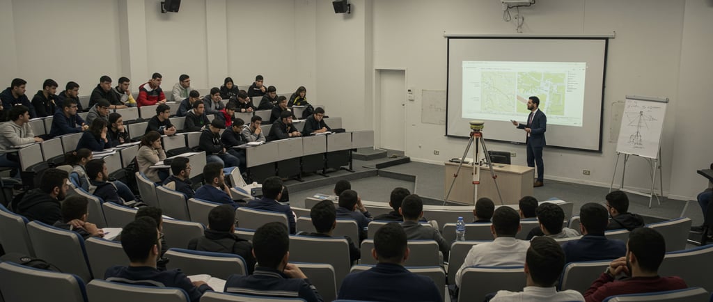
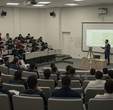
If you’re thinking about starting your journey in the world of surveying, or even if you’re an engineer with experience but want to develop your skills and keep up with the latest technologies, you need to know that this field is evolving rapidly, and those who don’t keep pace fall behind. The market today doesn’t just need someone who can operate equipment or draw maps—it needs a professional surveyor who can use advanced tools, analyze data accurately, and understand how to integrate fieldwork with modern engineering software.
At GeoDola, we don’t just offer theoretical training courses; we provide a comprehensive hands-on learning experience that equips you to confidently enter the workforce. You will learn to operate the latest surveying devices such as LiDAR laser scanners, Total Stations, and GNSS/GPS positioning systems, which enable you to capture highly accurate data regardless of the terrain or project type.
That’s not all—we also teach you how to work with powerful engineering design software like AutoCAD, Civil 3D, and Revit. These programs allow you to transform field data into detailed 2D and 3D engineering models and drawings that help engineers and designers better understand the project and follow up on execution easily. These tools are not only for drafting but also essential for quantity calculations, site analysis, and precise project planning.
What sets GeoDola apart is our integration of practical and technical skills because we understand that surveying expertise is not just about handling the device, but about interpreting and analyzing data, and using it effectively to support construction and development decisions. Our training covers everything from land surveying, topographic mapping, digital modeling, and quantity takeoffs to applying artificial intelligence to accelerate and improve accuracy.
For new students, training with GeoDola is your opportunity to learn all the fundamentals and skills that guarantee a strong and unique start in the field. For engineers already working, we help you develop yourself, acquire new techniques, and keep up with market updates that require proficiency in advanced software and devices. This training doesn’t just teach you how to work; it teaches you how to be a problem solver, a strategic planner, and excel in your profession.
Most importantly, training with GeoDola qualifies you to enter the job market with strength—whether you want to work in contracting companies, infrastructure projects, tourism and real estate sectors, or even the government sector. You’ll find yourself capable of handling the toughest field and office challenges, and you’ll learn how to achieve the highest accuracy in surveying, engineering drawings, and preparing technical reports that facilitate decision-making.
In the end, training at GeoDola is more than education—it’s a real investment in your professional future, because the skills you gain with us will keep you always ahead. As we always say: “Surveying is not just numbers and maps; surveying is an art and precision, and the right training is your path to professionalism.”
GeoDola | Surveying & Geomatics Solutions
All rights reserved © 2026